The American Land Museum at Wendover, Utah
Incidental structures and accidental references along the Utah-Nevada border
The Center for Land Use Interpretation
The American Land Museum is a network of landscape exhibition sites being developed across the United States by the Center for Land Use Interpretation and other agencies. The purpose of the museum is to create a dynamic contemporary portrait of the nation, a portrait composed of the national landscape itself. Selected exhibition locations represent regional land use patterns, themes, and development issues. Within each exhibit location are a number of specified experiential zones with collections of material artifacts in the landscape, landmarks selected from among the field of existing structures.
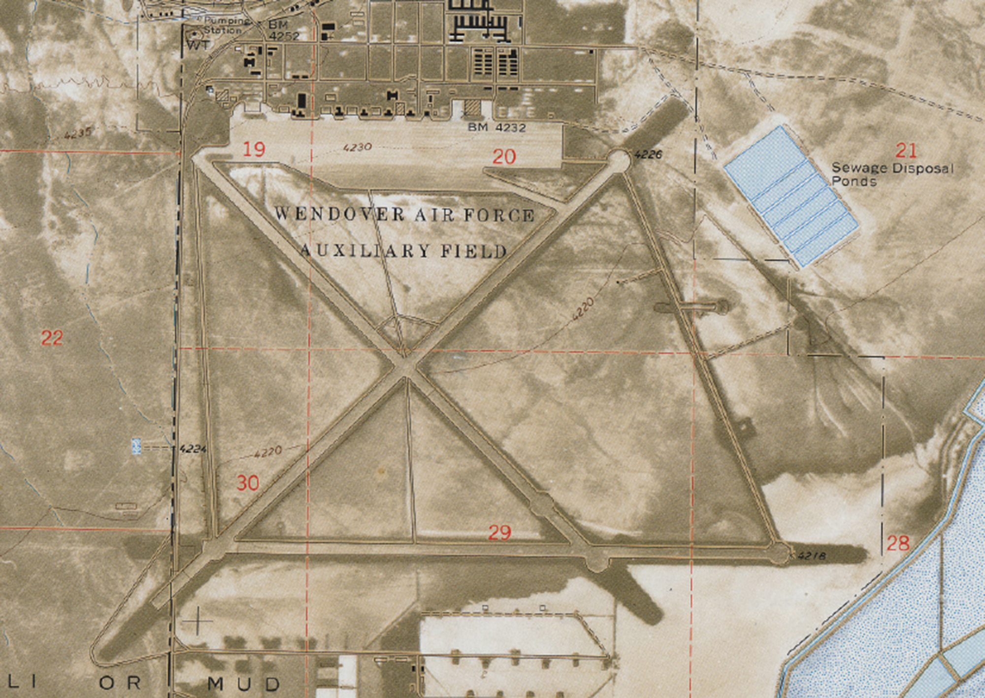
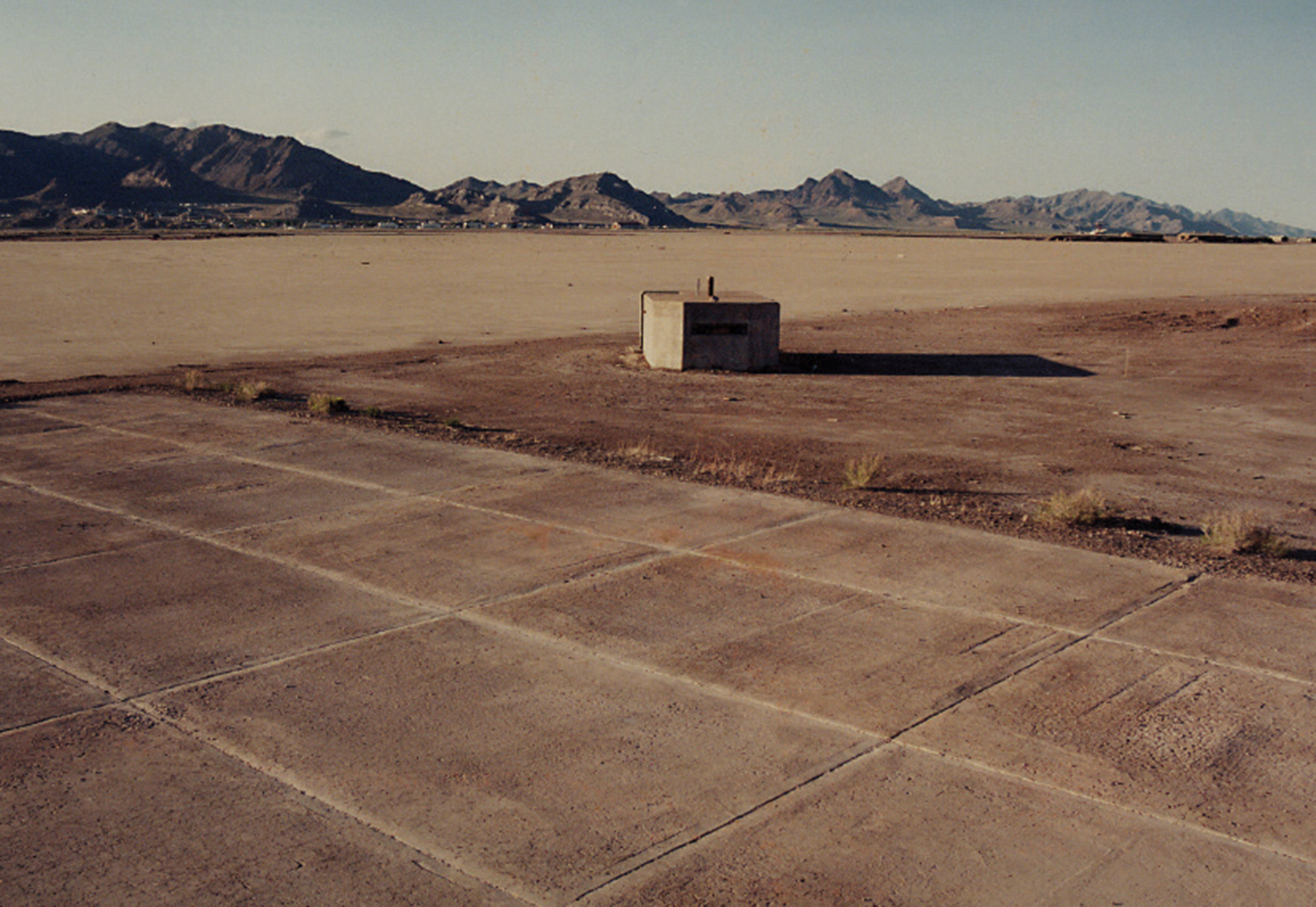
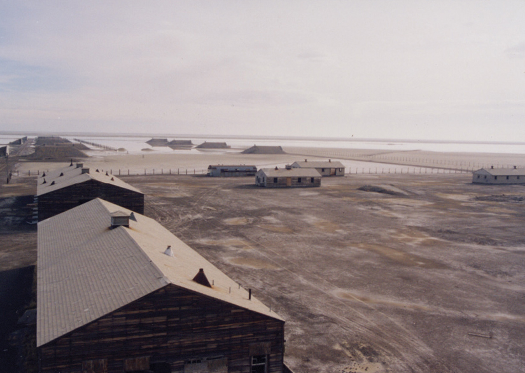
Wendover, Utah, is the American Land Museum’s regional location in the Great Basin. Beyond the Museum’s Information Center, exhibits can be found among the waste disposal industries, explosives plants, survivability training sites, and weapons test areas that have developed within this broad, geomorphologically self-contained region.
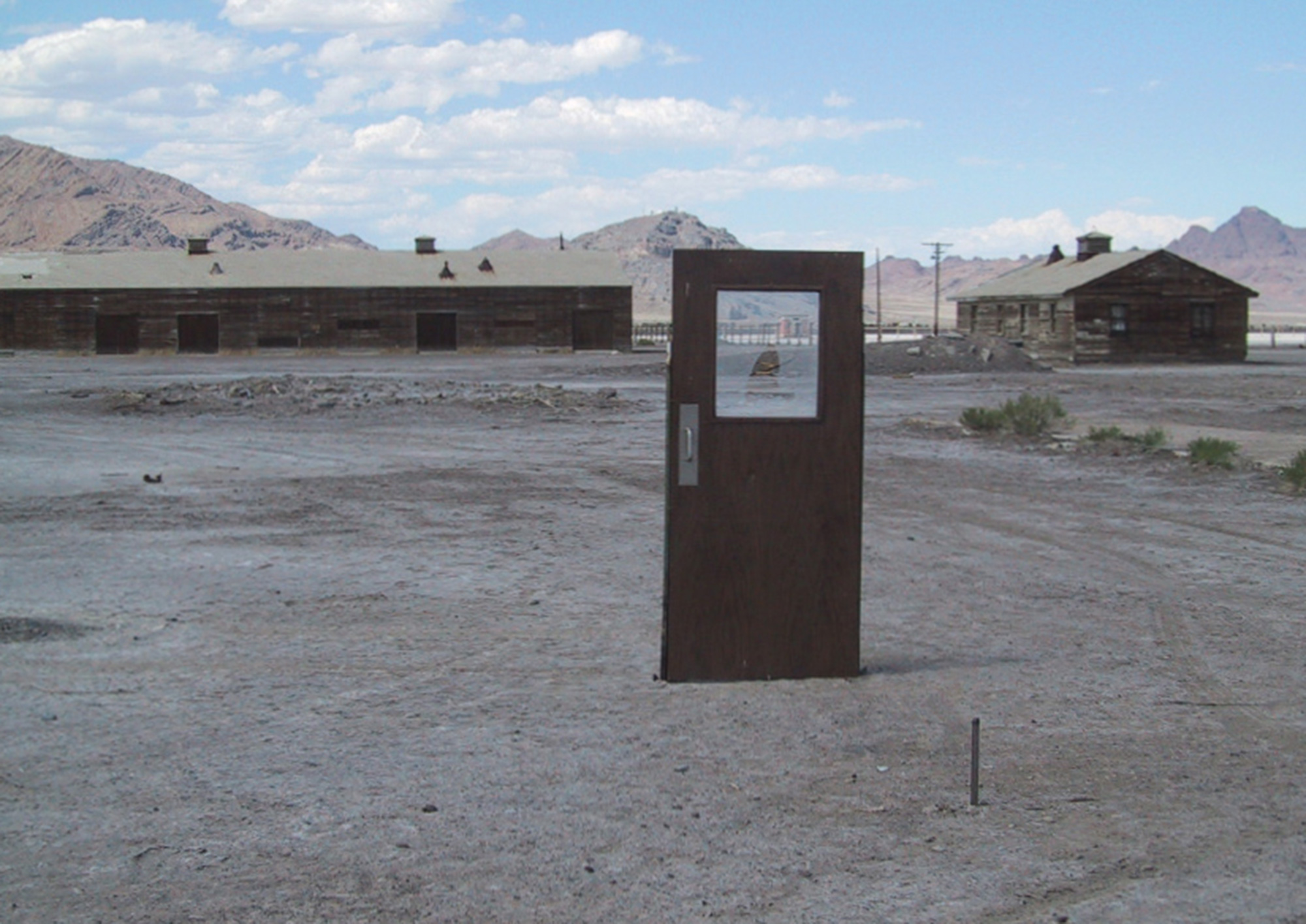
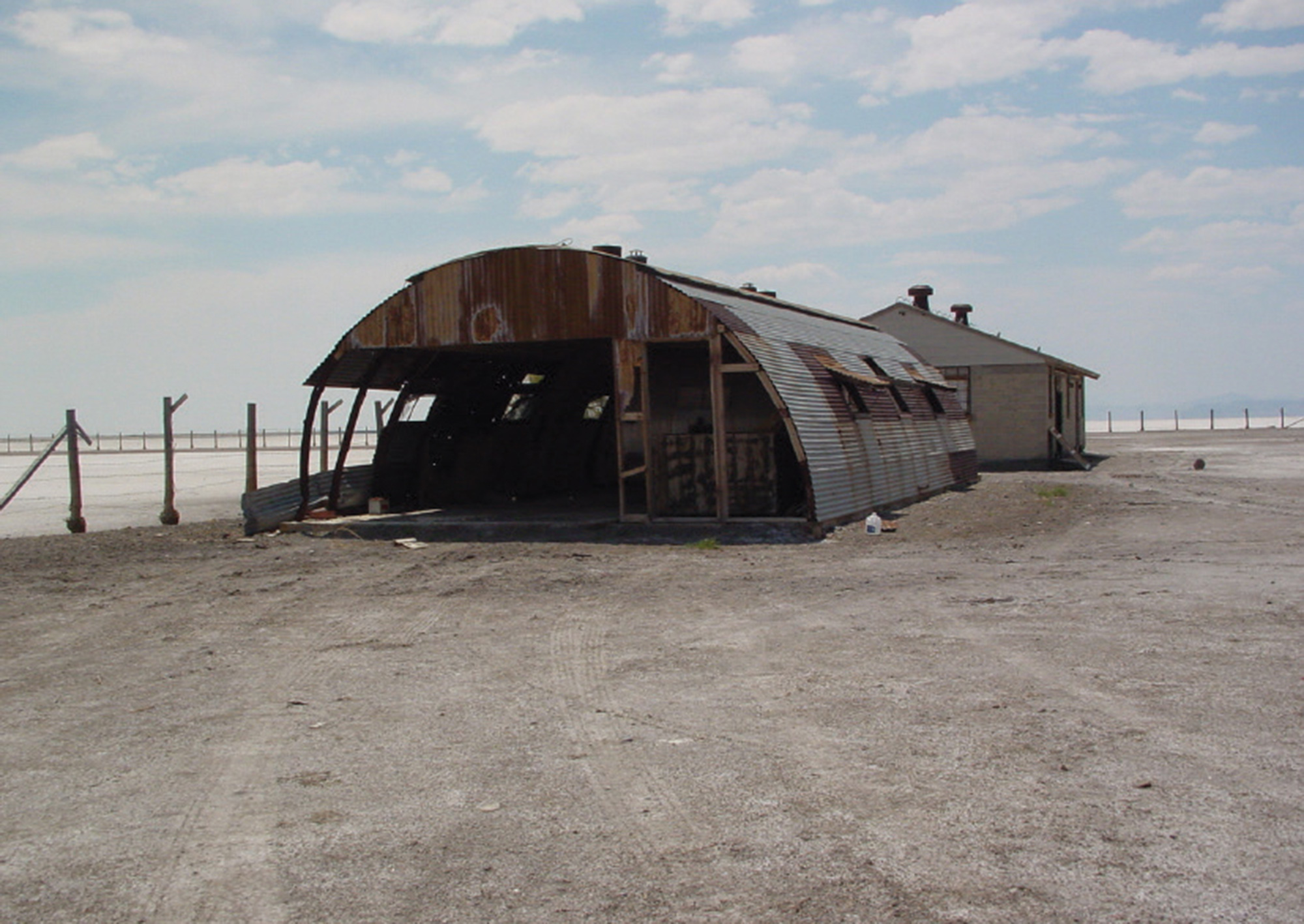
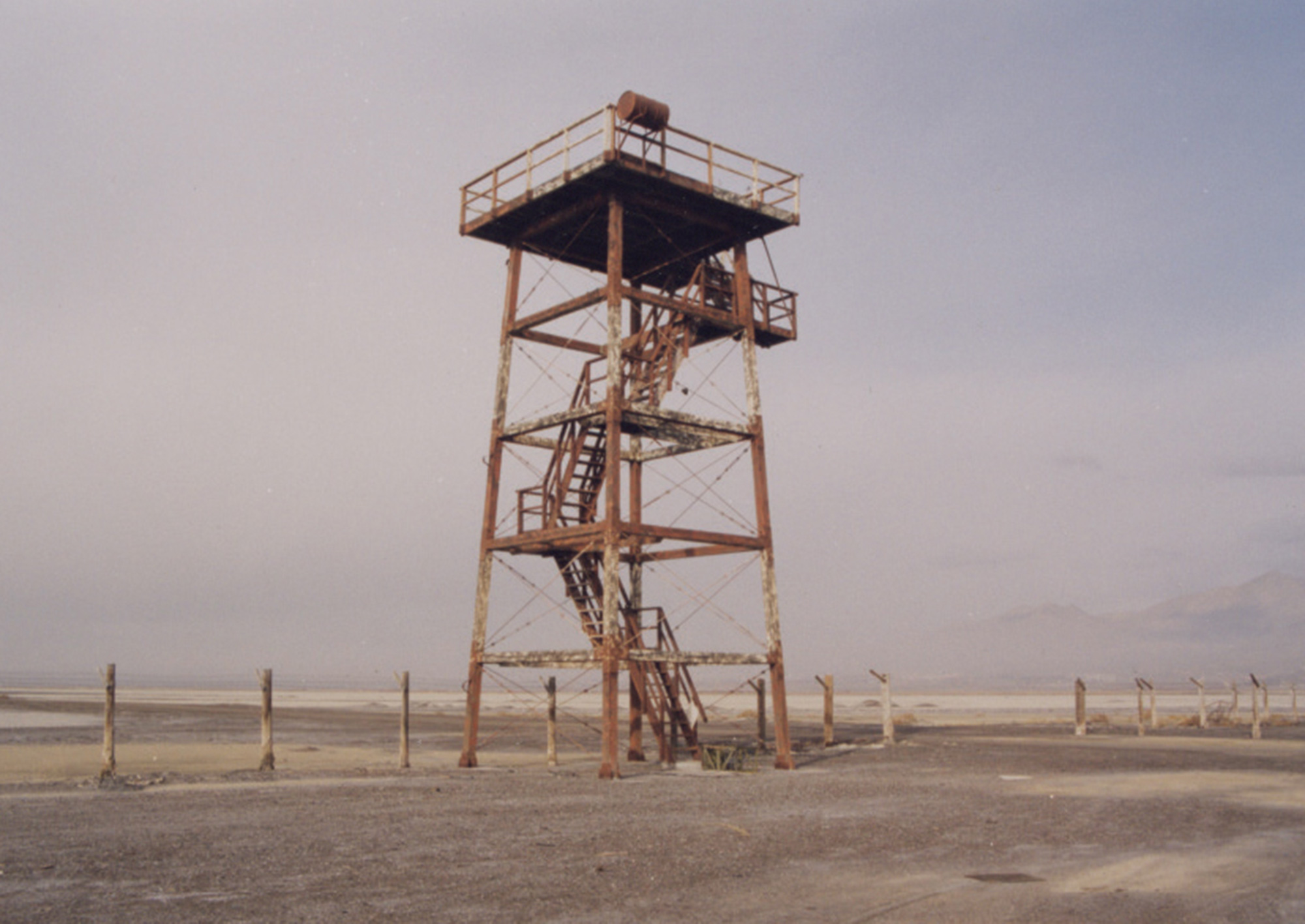
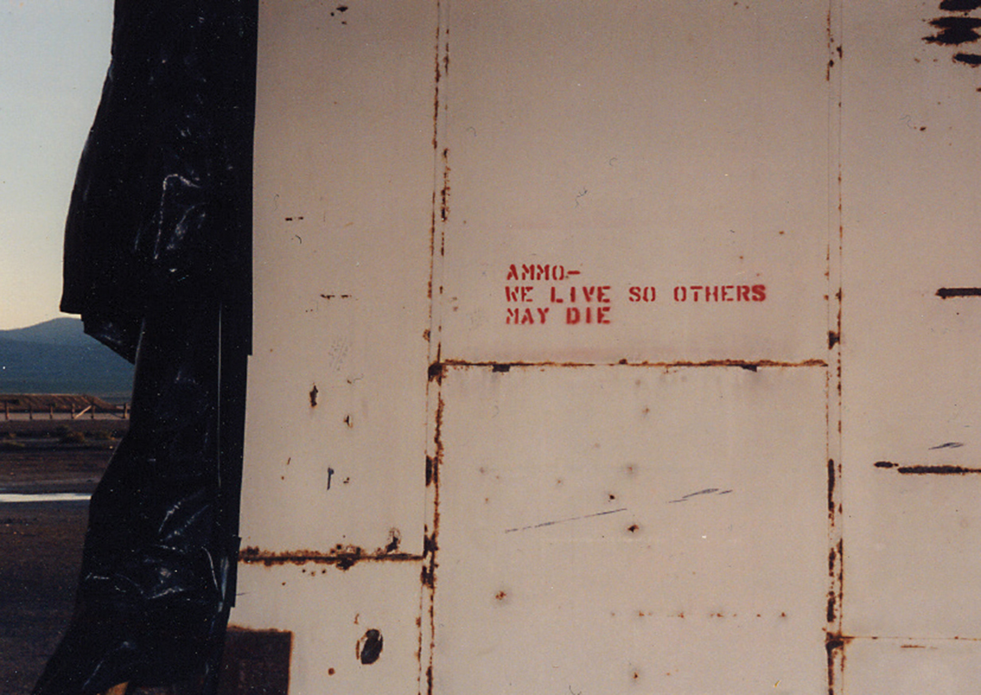
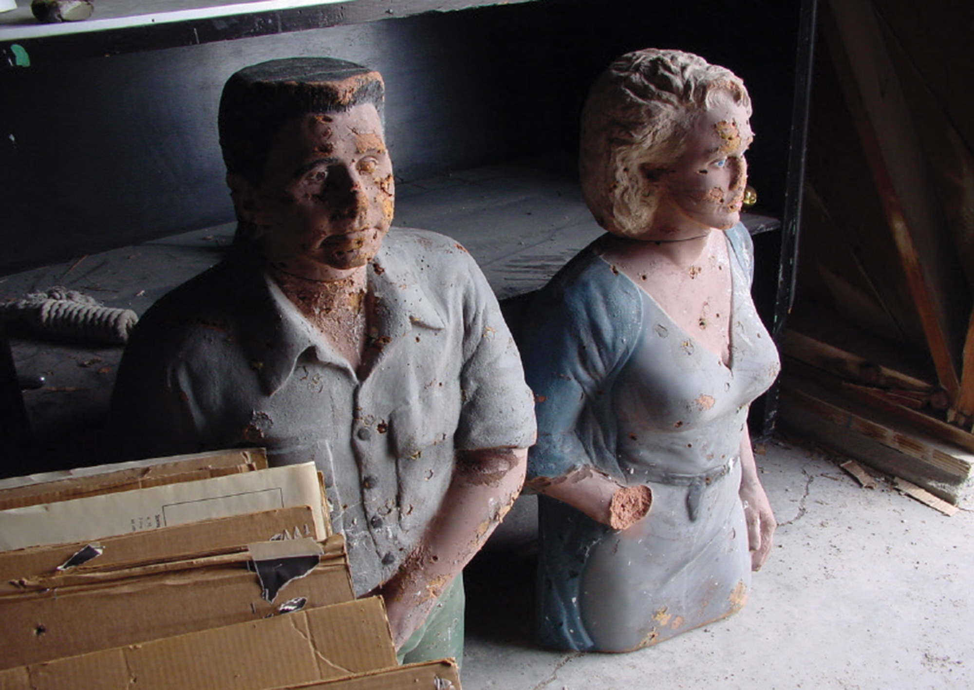
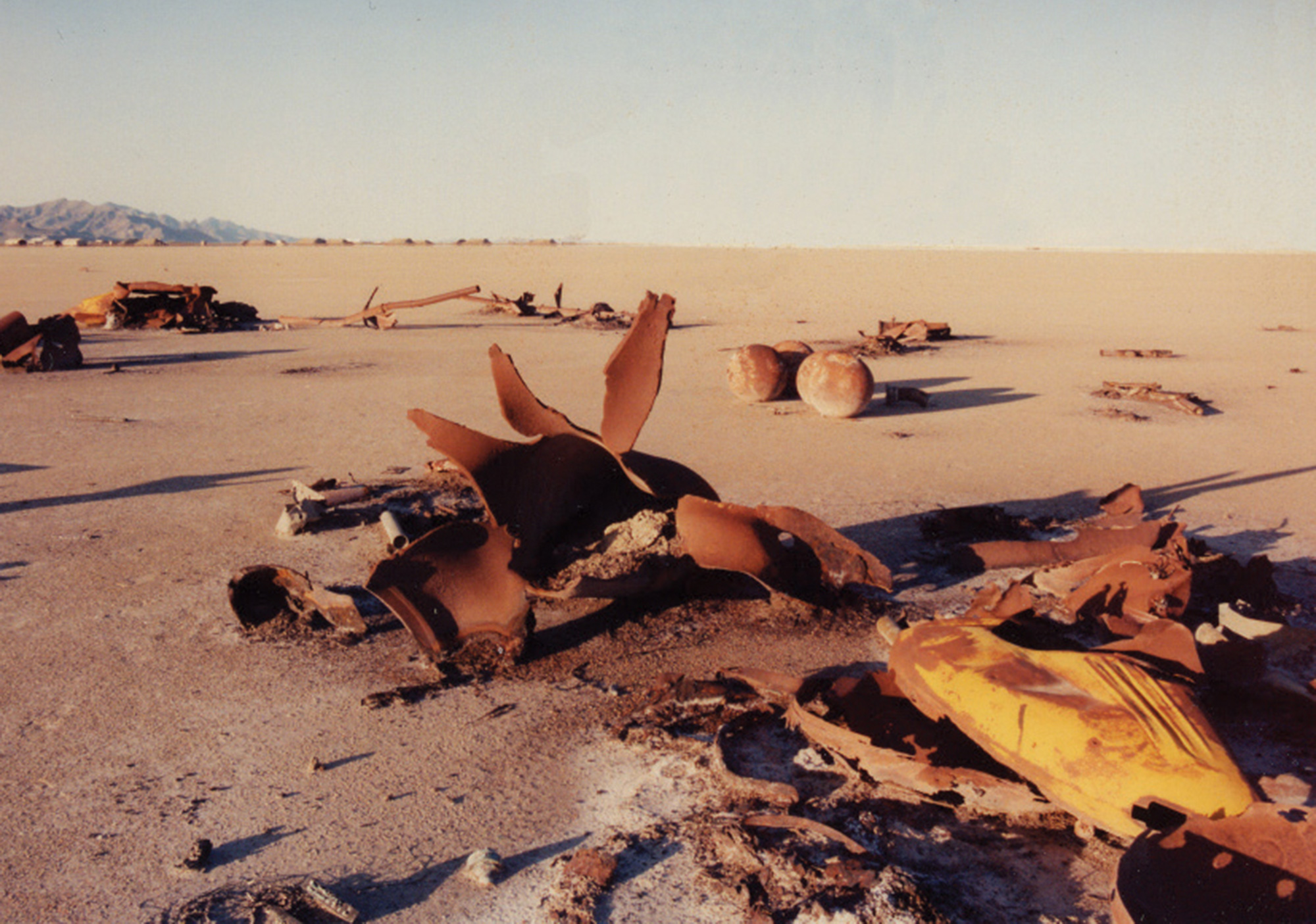
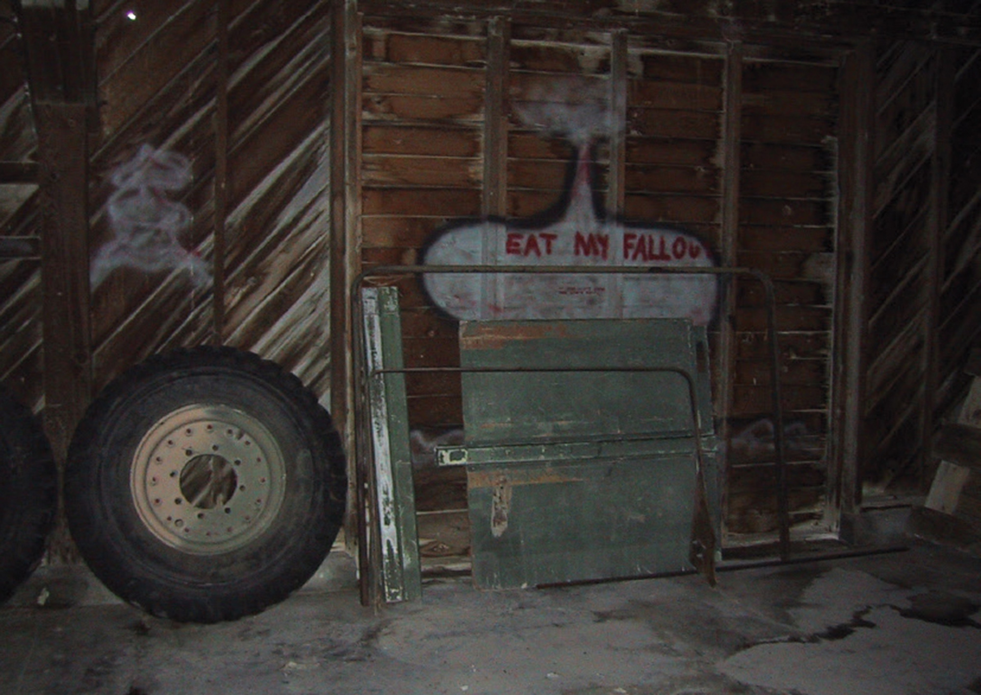
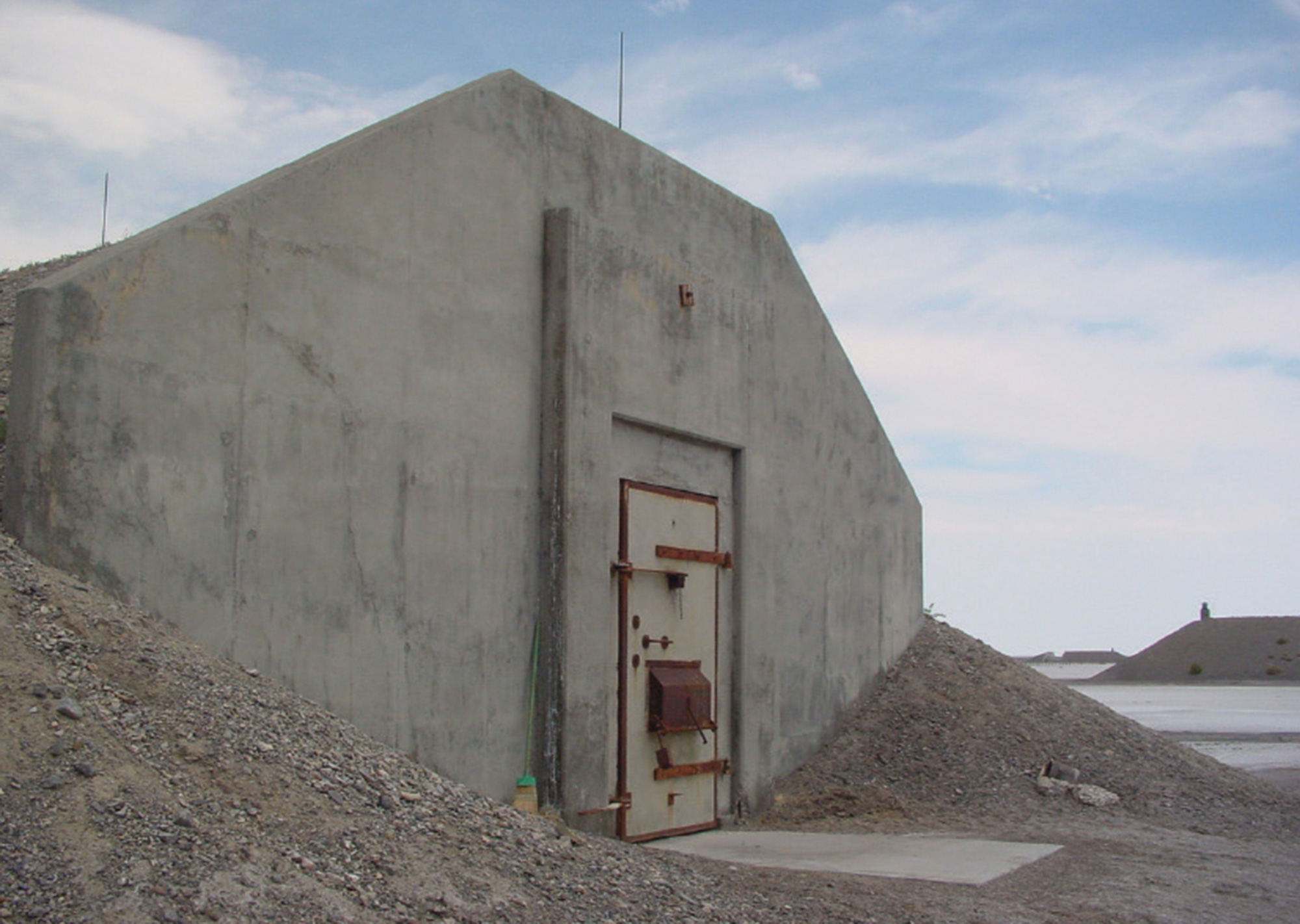
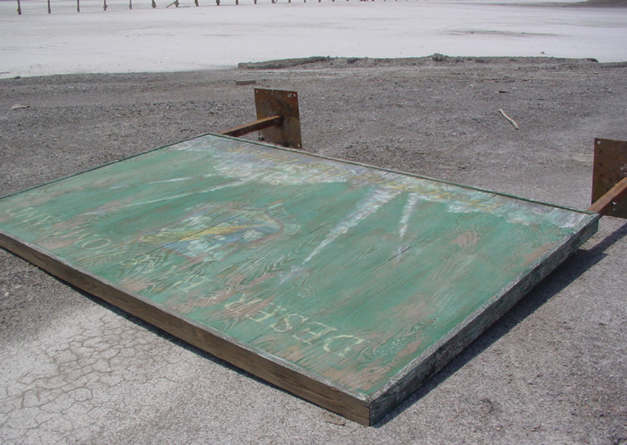
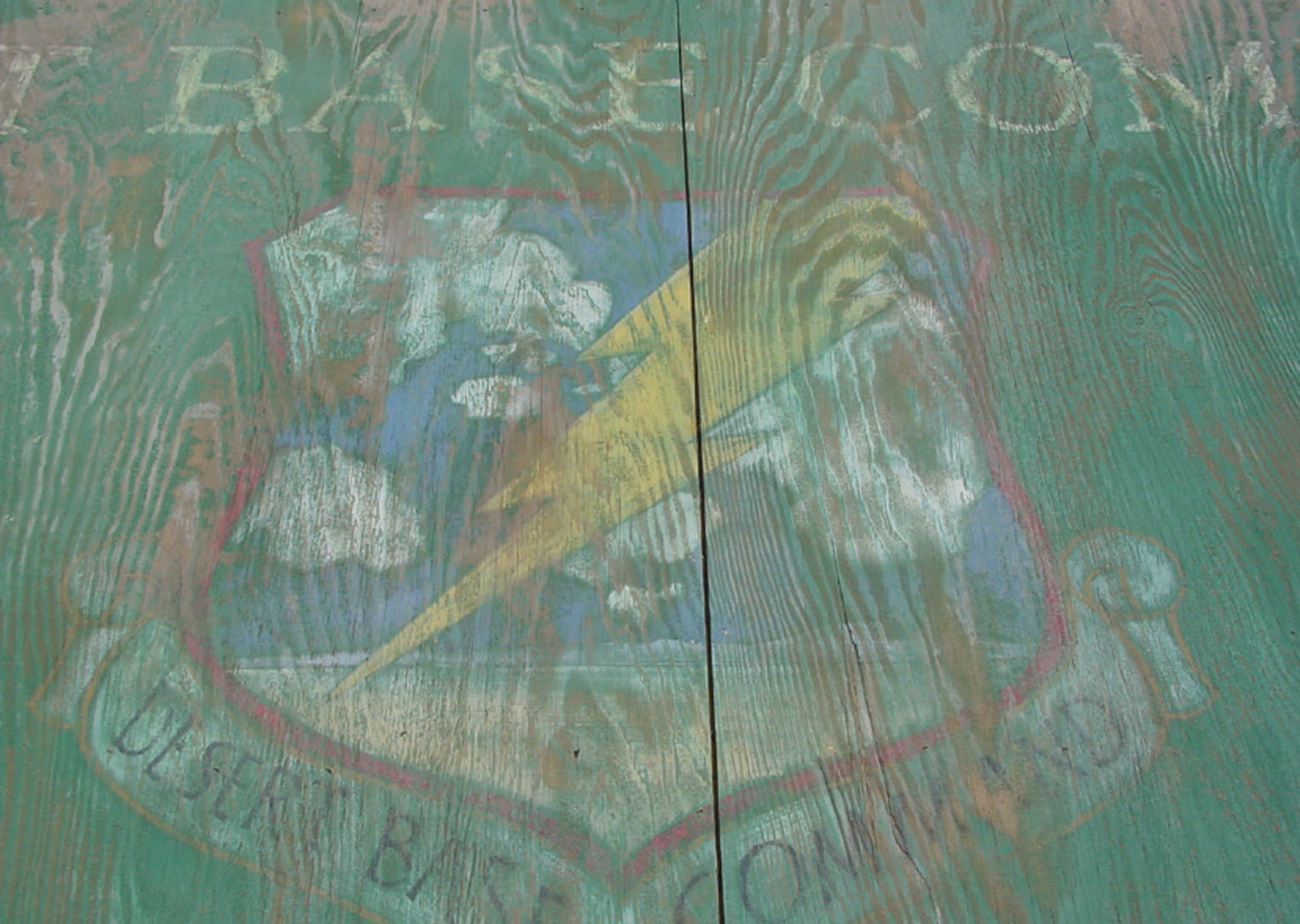
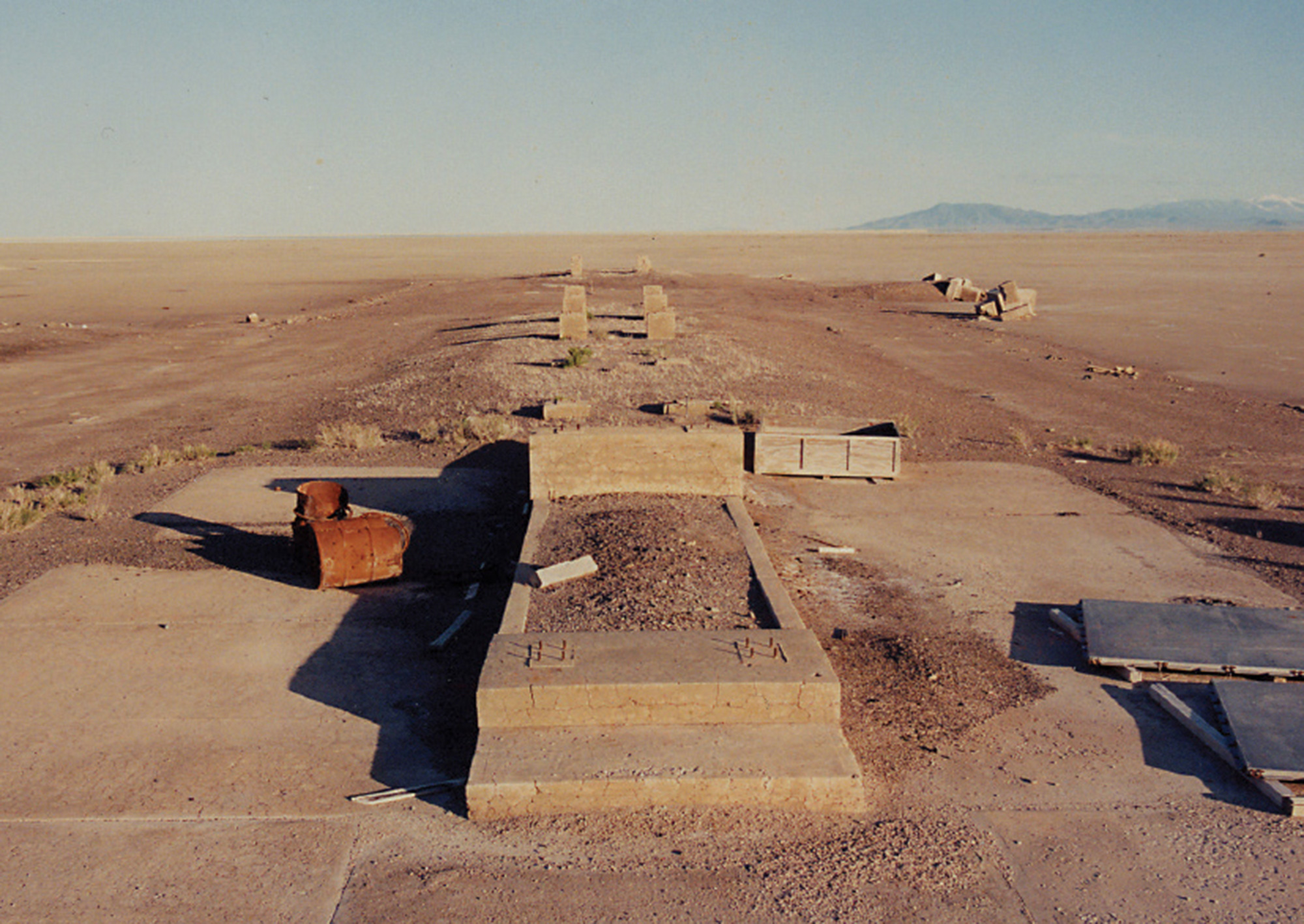
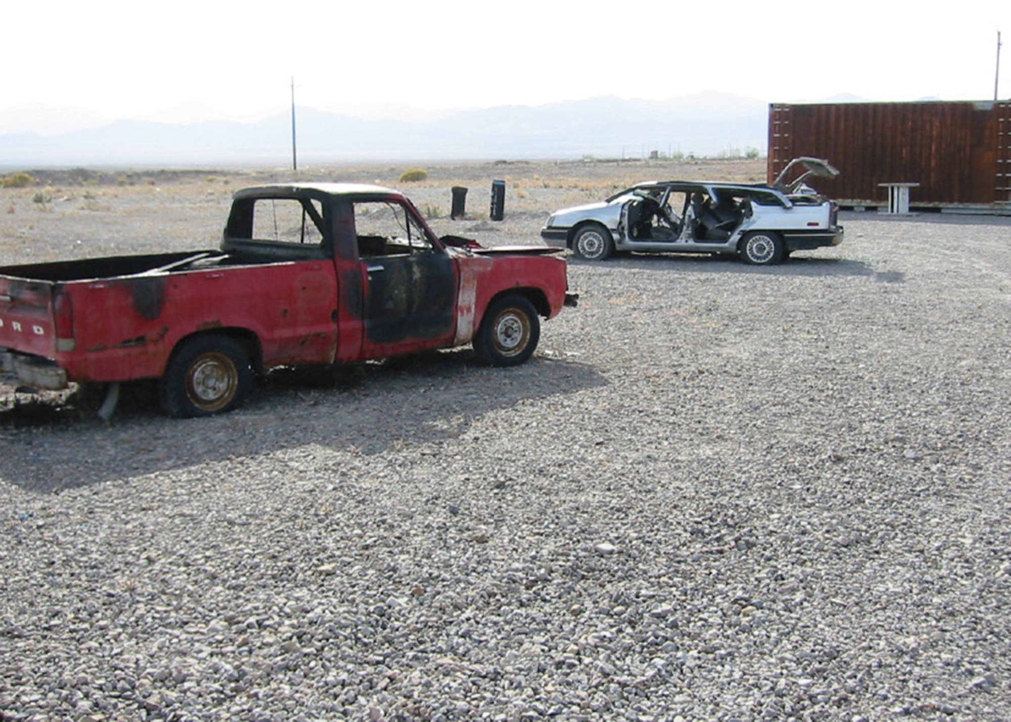
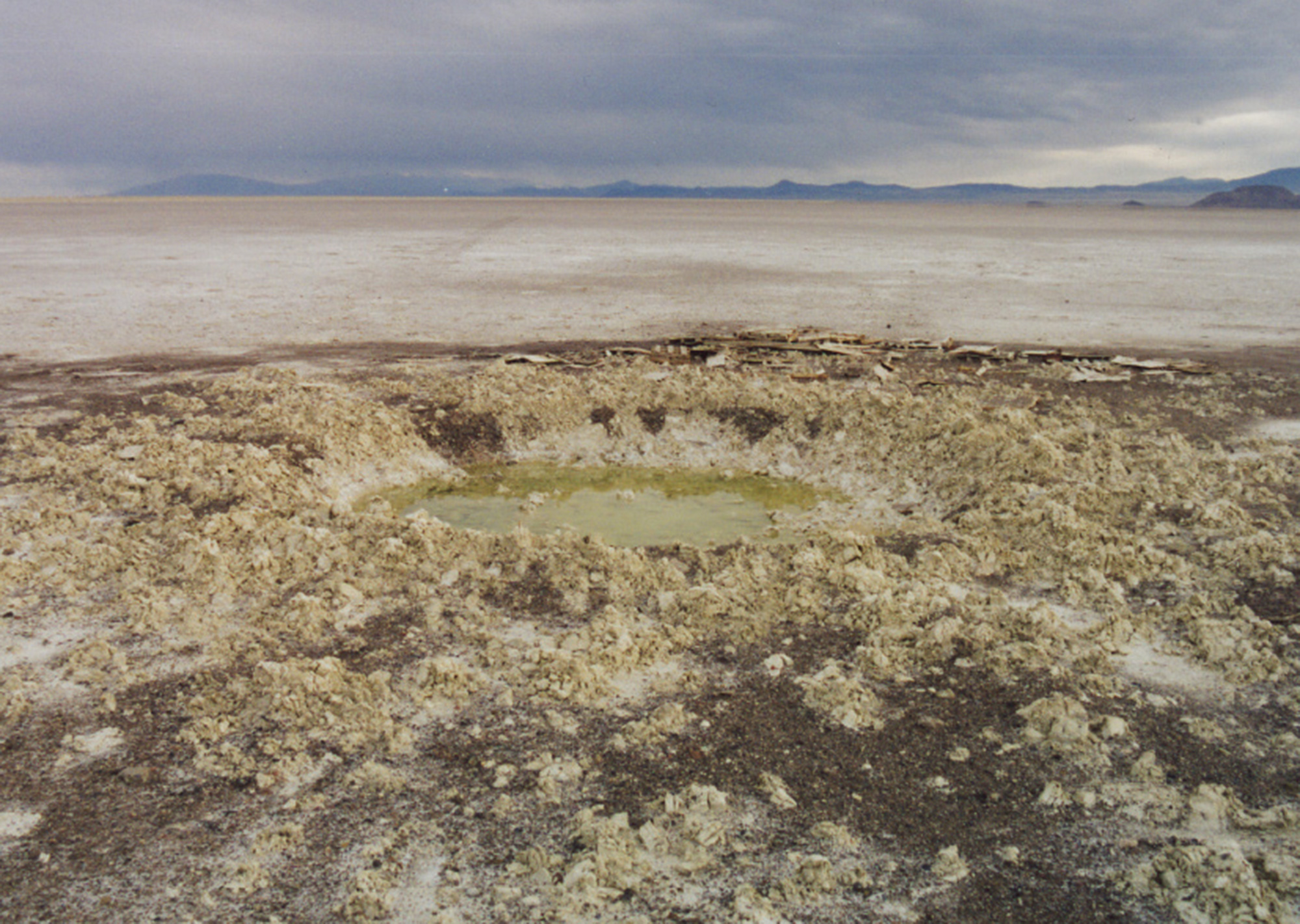
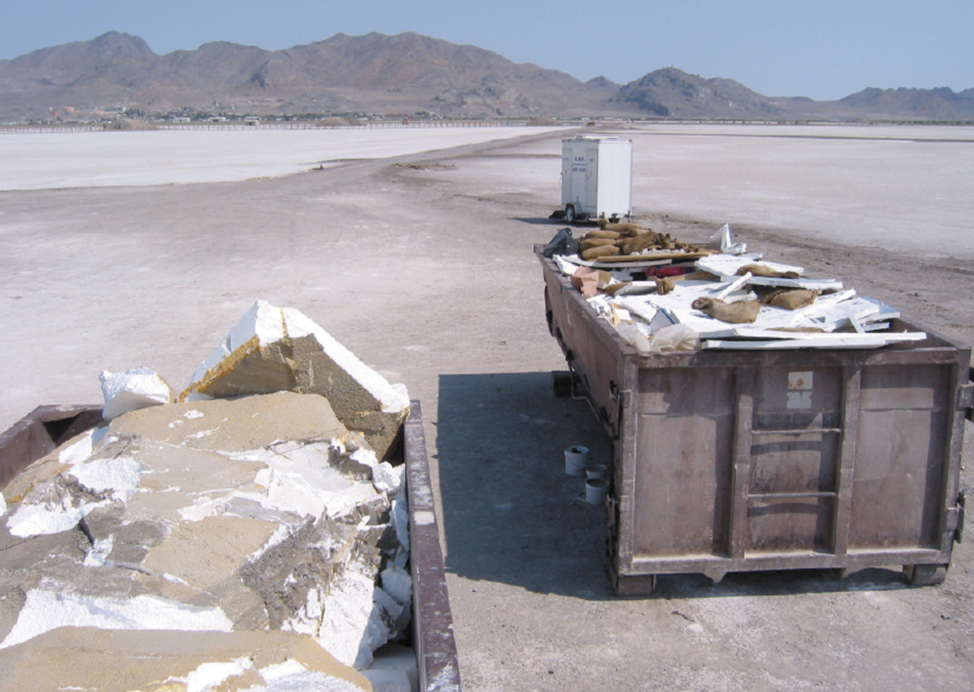
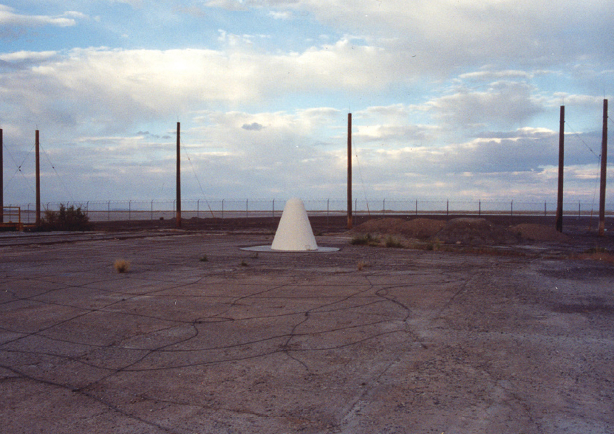
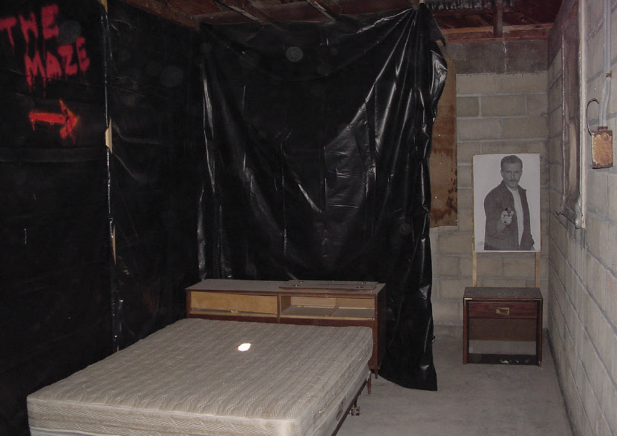
One exhibit area is located in a zone called South Base, south of town, along the state line. South Base is an artificial island of ground, built in a sea of salty mud, on the edge of the expansive flats. The artifacts it contains include familiar and expressive forms, as well as enigmatic and opaque objects. Mythic structures such as labyrinths, tombs, and portals, meet the ephemeral architectures of Hollywood art directors. Incidental structures make accidental references to land art like Downward Blows and The Lightning Field. And glyphs from the last great war meet decayed ramps for launching experiments out into the uncertainty of the landscape void.
Photos from Center for Land Use Interpretation photo archive unless otherwise noted.

The Center for Land Use Interpretation is a research organization interested in understanding the nature and extent of human interaction with the earth’s surface. The Center embraces a multidisciplinary approach to fulfilling the stated mission, employing conventional research and information processing methodology as well as nontraditional interpretive tools. For further information, see clui.org
Spotted an error? Email us at corrections at cabinetmagazine dot org.
If you’ve enjoyed the free articles that we offer on our site, please consider subscribing to our nonprofit magazine, which includes unlimited access to all our archives.