Artist Project / Approximate Original Contour
What was mine is yours
Rachel Watson
Coal can be excavated from the earth in two ways: by mining on the surface or underground. Of these, surface mining, sometimes called strip mining, is the most direct. In strip mining, machinery clears dirt and rock to reveal coal seams, which are then excavated. This process creates dangerous and unsightly pits surrounded by steep walls and containing polluted water that runs off into nearby streams. A long history of surface mining with minimal regard for the environment has left behind hundreds of such sites in the US.
Public dissatisfaction with abandoned mines—their appearance, the pollution they caused, and their role in many injurious or fatal accidents—eventually resulted in the 1977 Surface Mining Control and Reclamation Act (SMCRA). This legislation made environmental and safety considerations part of the process of obtaining mining permits by requiring a plan for land reclamation after mining operations were complete. SMCRA requires that reclamation follow the guiding principle of Approximate Original Contour (AOC), such that “the reclaimed area, including any terracing or access roads, closely resembles the general surface configuration of the land prior to mining and blends into and complements the draining pattern of the surrounding terrain, with all highwalls and spoil piles eliminated.”
The process of reclamation begins when a mining company applies to the state’s Department of Environmental Protection (DEP) for a permit to mine a particular site. Aerial photographs and US government topographical maps are filed to accurately establish the pre-mining topography, and the mining company is required to take out a bond to cover the cost of reclamation in the event that they dissolve mid-operation. DEP mine inspectors will continue to oversee and finally judge the completion of reclamation according to AOC. Many coal mines are mined multiple times; in the case of those previously mined before the 1977 legislation, AOC entails matching the site to the surrounding countryside. If a mining company would like to reopen a site last mined after SMCRA took effect, it must necessarily destroy the previous approximate original contour and create another. As the mining effort proceeds (typically lasting anywhere from two to fifteen years), reclamation follows in tandem. When mining of a given piece of land is completed, the contour is re-established with backhoes and bulldozers and replanted with trees and grasses native to the area.
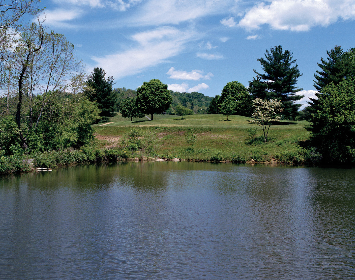
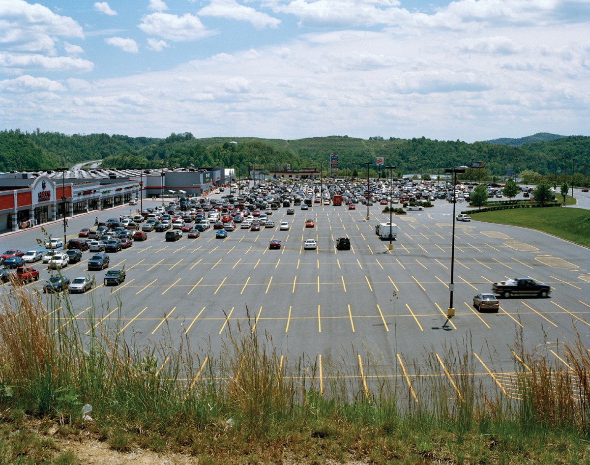
SMRCA contains a single exemption from the AOC requirements for the infrequent situation where a former mine site is slated for development. Recently, however, mining companies have invoked and interpreted this exemption in a wide variety of ways and have been quick to take advantage of the DEP’s willingness to approve development of the land for industrial, commercial, agricultural, residential, or public recreational use, rather than restoring it to AOC standards. This has become especially common in areas such as West Virginia and Kentucky, which are extremely rich in coal but mountainous, and therefore expensive or even impossible to return to AOC. Post-mining reclamation projects in West Virginia have included a shopping mall, a state prison, a golf course, a high school, a cemetery, and a housing project.
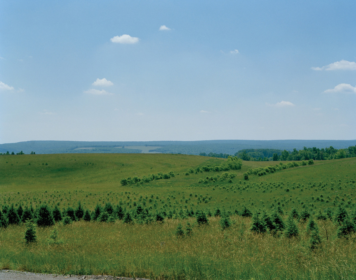
Recently, mining companies have also won exemption from AOC by turning former mine sites into “wildlife habitats.” This particular land use is not mentioned in the law, but currently permitted by DEP officials. Reclamation projects of this type—typically averaging 450 acres, roughly the size of 360 football fields—have become extremely controversial for their questionable safety (they have been blamed for flooding, mudslides, and the pollution of water sources), alien appearance in the surrounding landscape, and unsuitability to the animals native to the region.
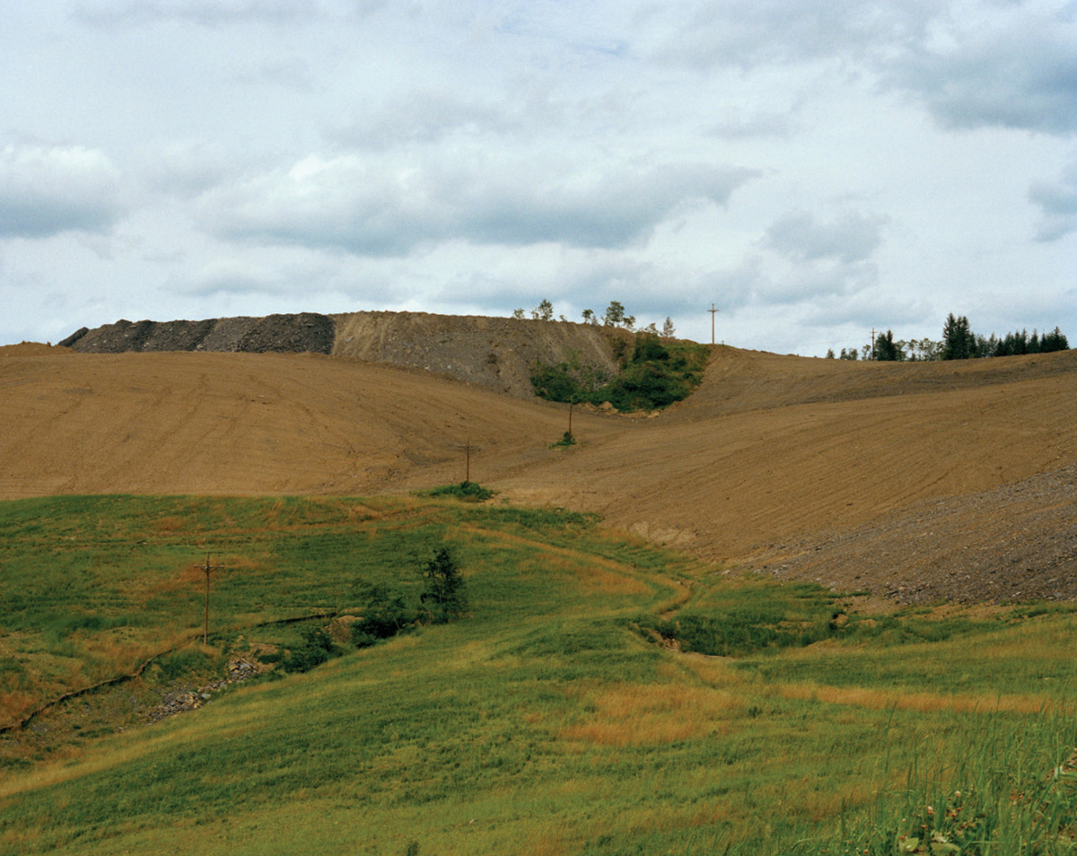
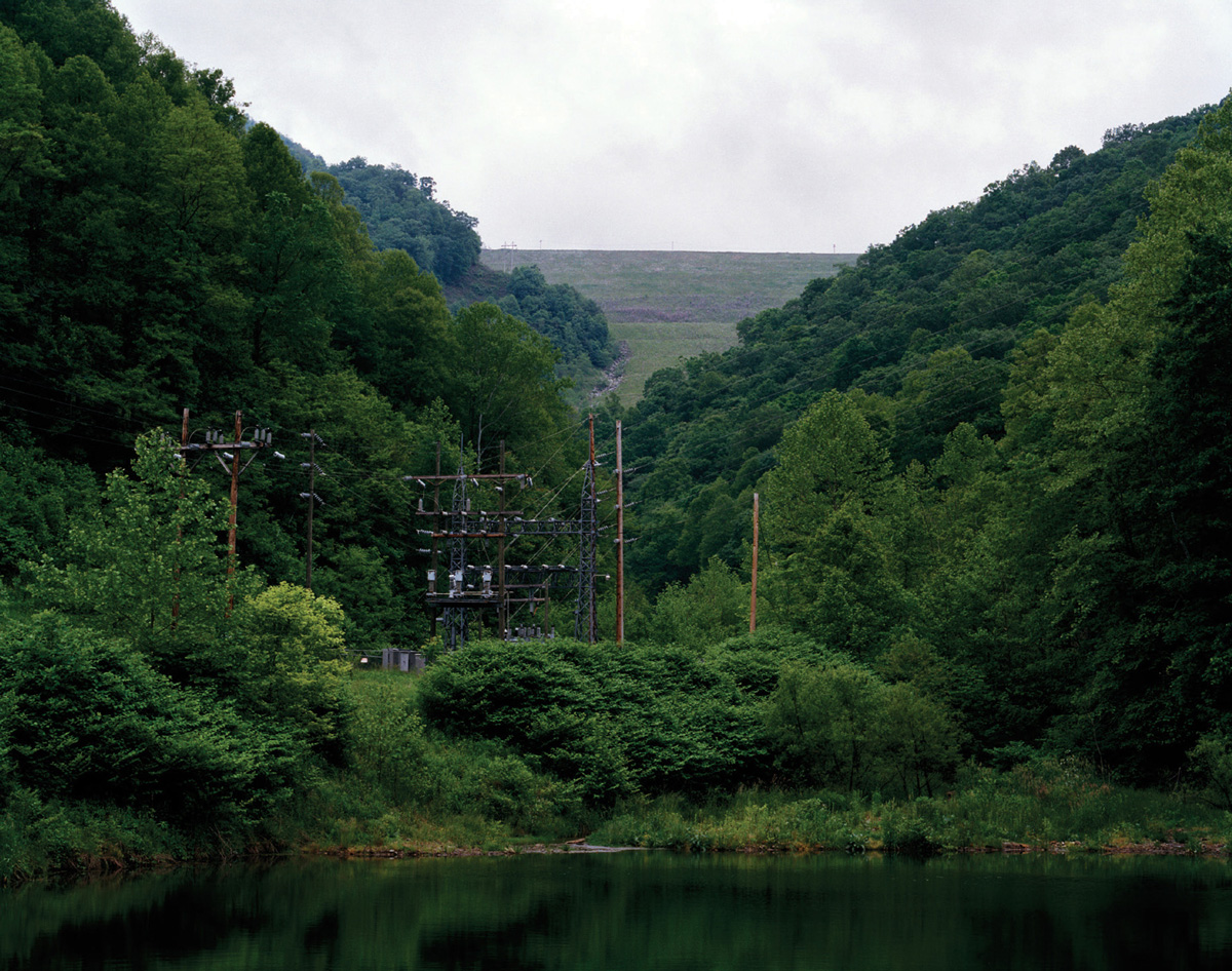
The following photographs show sites that have successfully met the requirements of SMCRA as currently enforced by the DEP, whether by complying with AOC, developing the land for public use, or creating a wildlife habitat.
Rachel Watson is a photographer living in Brooklyn.
Spotted an error? Email us at corrections at cabinetmagazine dot org.
If you’ve enjoyed the free articles that we offer on our site, please consider subscribing to our nonprofit magazine. You get twelve online issues and unlimited access to all our archives.